 West Grey Real Estate
West Grey Real Estate › Blog › What Towns and Communities Are Included in West Grey?
← All articlesWhat Towns and Communities Are Included in West Grey?
Key takeaways
- West Grey is a large rural municipality in Grey County, not another name for all of Grey County.
- Durham, Neustadt, Ayton and Elmwood are the four most commonly used West Grey community references.
- Priceville, Irish Lake, Glenelg Centre, Allan Park, Rocky Saugeen, Varney and Traverston are among the smaller named localities within West Grey.
- A locality name helps identify an area, but the civic address and parcel map determine the property’s actual municipality, zoning and service context.
- Durham and Neustadt are the primary settlement-area references in West Grey planning; rural properties may be subject to different county and municipal policies.
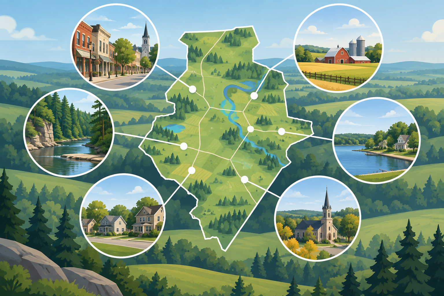
West Grey is a municipality in Grey County, Ontario, made up of the main communities of Durham, Neustadt, Ayton and Elmwood, plus extensive rural countryside and smaller named places including Priceville, Allan Park, Glenelg Centre, Irish Lake, Rocky Saugeen, Varney and Traverston. The exact municipal address—not the nearest community name—determines whether a property is inside West Grey.
West Grey at a glance
When people ask what towns are in West Grey, they are usually referring to the Municipality of West Grey, not all of Grey County. West Grey is a lower-tier municipality within Grey County and covers approximately 875 square kilometres of village settlement areas, agricultural land, forests, waterways, rural roads and historic hamlets.
The municipality was created through amalgamation in 2001. Its geography includes the former Town of Durham, Village of Neustadt and the former townships of Bentinck, Glenelg and Normanby. That history helps explain why West Grey contains many familiar place names that still appear on road signs, local maps, school catchment descriptions, property listings and directions.
According to the 2021 Census Profile for West Grey, the municipality had a population of 12,518 and a land area of 875.21 square kilometres. In practical terms, West Grey is geographically large and relatively rural: a home described as being in West Grey may be close to a village, several kilometres along a concession road, or near a lake or historic locality.
The four best-known communities in West Grey
For everyday navigation, real-estate searches and local services, four names are most often used as West Grey community references: Durham, Neustadt, Ayton and Elmwood.
Durham
Durham is West Grey’s largest and most urbanized community. It serves as the municipal administrative centre and has a more concentrated downtown, established residential streets, schools, shops, recreation facilities and municipal services than most other places in West Grey.
Durham is located near the Saugeen River and is a common search area for buyers looking for in-town detached homes, retirement-friendly housing, small residential lots and properties within walking or short-driving distance of services. It is also an important reference point for rural properties west, north and east of the community.
A useful distinction for buyers: a listing marketed as “Durham area” may be in the actual Durham settlement area, or it may be a country property with a Durham mailing or service reference. Check the legal municipal address and zoning map before assuming a property has village services or is within a settlement boundary.
Neustadt
Neustadt is a historic village in the eastern part of West Grey. It is known for its traditional village character, older homes, residential streets and surrounding farm country. Neustadt is also one of the municipality’s principal settlement areas for planning purposes.
For property searches, Neustadt can mean several different settings:
- a home within the village;
- a residential property on the edge of the built-up area;
- a rural home or farm using Neustadt as its nearest community reference; or
- land in the wider former Normanby Township area.
Neustadt and Durham are especially important planning references because West Grey’s local Official Plan has historically focused on these primary settlement areas. The municipality’s Official Plans and planning resources should be checked for current mapping, growth policy and settlement-area boundaries.
Ayton
Ayton is a smaller village community in West Grey, located in the municipality’s northern area. It has a recognizable village centre and is surrounded by agricultural land, rural residences and country roads.
Ayton is a useful search term for people looking for a quieter village setting without searching exclusively in Durham or Neustadt. Local landmarks and facilities commonly associated with Ayton include the Ayton Centennial Hall, the Ayton branch of the library and the Ayton Normanby Arena Complex.
From a property-search perspective, separate “in Ayton” from “near Ayton.” A home on a rural road outside the village may be minutes from Ayton but have different zoning, private well and septic requirements, road-maintenance arrangements or agricultural-neighbourhood considerations than a house within the village.
Elmwood
Elmwood is a rural village community near West Grey’s western boundary. The community is commonly associated with Bruce Road 10 and the surrounding countryside. Because municipal boundaries in this area meet nearby jurisdictions, buyers should be careful not to assume every property using Elmwood as a community reference is necessarily in West Grey.
Within West Grey, Elmwood is a helpful location marker for country homes, farms, acreage and properties near the municipal boundary. The community has a local gathering place in the Elmwood Community Centre, one of several facilities listed through West Grey’s community halls and rental facilities.
Smaller communities, hamlets and rural localities in West Grey
West Grey includes many smaller named places in addition to Durham, Neustadt, Ayton and Elmwood. Commonly used community or locality names include:
- Allan Park
- Crawford
- Glenelg Centre
- Irish Lake
- Lamlash
- Priceville
- Rocky Saugeen
- Traverston
- Varney
These names do not all mean the same thing. Some identify a compact hamlet or crossroads, while others identify a lake area, a historic settlement, a rural district or a geographic reference used by residents. They can appear in directions, infrastructure records, local-event listings and real-estate descriptions even where there is no separate municipal office or formal town boundary.
Priceville
Priceville is a recognizable community area in West Grey and a frequent reference point for properties in the southern and eastern rural portions of the municipality. It has local community facilities and is more than just a road name, but it is not a separate incorporated municipality.
A listing described as “near Priceville” could include a village-adjacent house, a rural residence, a farm or acreage. Confirm the civic address because properties near Priceville may fall under different road authorities or be closer to a neighbouring municipality than the listing headline suggests.
Irish Lake and Rocky Saugeen
Irish Lake and Rocky Saugeen are important rural and recreational location references. Irish Lake is particularly useful for identifying properties with lake proximity, recreational appeal or waterfront-related considerations.
However, “near Irish Lake” is not enough information for a buyer to assess a property. Waterfront and near-water properties may involve regulated shorelines, floodplain mapping, access rights, private-road issues, conservation authority permissions or seasonal-use limitations. Before making an offer, review the parcel map, road access and applicable planning restrictions—not simply the listing’s locality label.
Glenelg Centre, Varney, Traverston, Crawford and Lamlash
Places such as Glenelg Centre, Varney, Traverston, Crawford and Lamlash are useful local orientation points, especially for rural addresses. They can help residents distinguish one part of West Grey from another, but they should not be treated as independent towns with separate municipal governments.
For example, a rural listing may be described as “Glenelg Centre area” because it is closer to that crossroads or historic locality than to Durham. Another may use “Varney” to communicate proximity to the western side of West Grey. In both cases, the legal location remains the Municipality of West Grey if the civic address and parcel fall inside the municipal boundary.
What is the difference between a town, settlement area, hamlet and locality?
These terms are often used casually, but they have different practical meanings.
| Term | What it usually means in West Grey | Why it matters |
|---|---|---|
| Town or village | A built-up community such as Durham or Neustadt | May have more concentrated housing, services and municipal infrastructure |
| Settlement area | A planning designation with mapped boundaries | Can affect permitted growth, lot creation and servicing policies |
| Hamlet | A small built-up rural community or crossroads | May be a useful location reference but have limited services |
| Rural locality | A named geographic area, historic place, lake district or road-area reference | Helps with directions but does not establish zoning or municipal services |
The key lesson is that a community name is not a substitute for due diligence. A property can be in West Grey while being outside every major village settlement area.
How planning and services differ across West Grey
West Grey’s geography affects planning, infrastructure and property decisions. Durham and Neustadt have been treated as the municipality’s primary settlement areas in local planning documents, while much of the remaining municipality is governed through rural and county-level planning policy.
Grey County’s broader Official Plan framework guides land use across the county, including agricultural systems, natural heritage, settlement growth and rural development. West Grey then applies local zoning, site-specific regulations and municipal processes.
This matters in real situations:
- A Durham in-town home may be connected to municipal water and sewer.
- A Neustadt village property may have different servicing and lot standards than a farm outside the village.
- An Ayton-area country home may rely on a private well and septic system.
- An Irish Lake-area property may require additional review of shoreline, access or environmental constraints.
- An Elmwood-area listing may need an extra boundary check because nearby properties can be in a different municipality.
West Grey publishes information about its municipal water and wastewater billing systems through its water and sewer rates and billing page. Do not assume that municipal servicing is available merely because a property is marketed with a West Grey community name.
A practical way to search West Grey properties
For a more accurate property search, organize West Grey into three categories rather than relying on one broad municipal label.
1. Village and in-town searches
Use Durham, Neustadt, Ayton or Elmwood when looking for established residential streets, smaller lots, walkable village amenities or homes closer to community facilities.
Ask whether the property is inside the built-up community, whether it has municipal water and sewer, and whether the lot is subject to village-specific zoning or heritage considerations.
2. Rural home, farm and acreage searches
Use the nearest community name plus the actual road, concession or geographic feature. Search terms such as “West Grey farm,” “Priceville acreage,” “Irish Lake property” or “near Glenelg Centre” can be useful starting points, but verify the exact parcel location.
For rural properties, check road access, winter maintenance, well records, septic condition, drainage, natural-heritage constraints, agricultural zoning and distance to services.
3. Planning and development searches
For vacant land, severance potential, home businesses, accessory buildings or redevelopment, start with the civic address and legal description—not the community label. Contact West Grey planning staff and review Grey County policy before treating a listing’s “potential” language as approval.
Frequently asked questions
What are the main towns and communities in West Grey?
The four most commonly referenced communities are Durham, Neustadt, Ayton and Elmwood. West Grey also includes smaller communities and rural localities such as Priceville, Allan Park, Glenelg Centre, Irish Lake, Rocky Saugeen, Varney and Traverston.
Is West Grey the same as Grey County?
No. West Grey is one municipality within Grey County. Grey County is the upper-tier government that includes West Grey and several other municipalities.
Is Priceville part of West Grey?
Yes. Priceville is a named community area within the Municipality of West Grey, not a separate municipality.
Are Irish Lake and Glenelg Centre in West Grey?
Yes. Irish Lake and Glenelg Centre are West Grey geographic and rural locality references. A specific property’s municipal location should still be confirmed using its civic address and parcel information.
Are Durham and Neustadt the only settlement areas in West Grey?
They are West Grey’s principal settlement-area references in local planning materials. Other communities, hamlets and rural places remain part of the municipality, but they may be governed by different rural, county and zoning policies.
Bottom line
West Grey includes Durham, Neustadt, Ayton and Elmwood as its best-known communities, along with a broad network of hamlets and rural localities including Priceville, Allan Park, Glenelg Centre, Irish Lake, Rocky Saugeen, Varney and Traverston. For property, planning or service questions, use the community name for orientation—but rely on the exact municipal address, parcel map and applicable planning documents for the definitive answer.
References
- https://www.westgrey.com/news/posts/council-meeting-highlights-september-1-2026
- https://westgreyrealestate.ca/communities
- https://visitgrey.ca/communities
- https://en.wikipedia.org/wiki/West_Grey
- https://www12.statcan.gc.ca/census-recensement/2021/as-sa/fogs-spg/page.cfm?dguid=2021A00053542004&lang=E&topic=1
FAQ
What are the main towns and communities in West Grey?
The four most commonly referenced communities are Durham, Neustadt, Ayton and Elmwood. West Grey also includes smaller communities and rural localities such as Priceville, Allan Park, Glenelg Centre, Irish Lake, Rocky Saugeen, Varney and Traverston.
Is West Grey the same as Grey County?
No. West Grey is one municipality within Grey County. Grey County is the upper-tier government that includes West Grey and several other municipalities.
Is Priceville part of West Grey?
Yes. Priceville is a named community area within the Municipality of West Grey, not a separate municipality.
Are Irish Lake and Glenelg Centre in West Grey?
Yes. Irish Lake and Glenelg Centre are West Grey geographic and rural locality references. A specific property’s municipal location should still be confirmed using its civic address and parcel information.
Are Durham and Neustadt the only settlement areas in West Grey?
They are West Grey’s principal settlement-area references in local planning materials. Other communities, hamlets and rural places remain part of the municipality, but they may be governed by different rural, county and zoning policies.